)
)
)
)
)
)
)
)
)
|
|
|
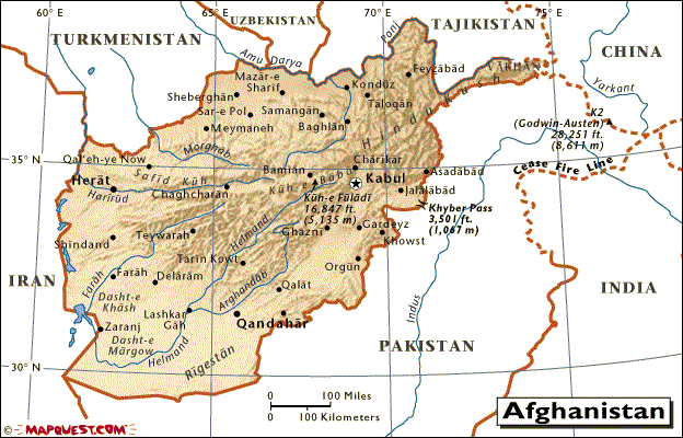
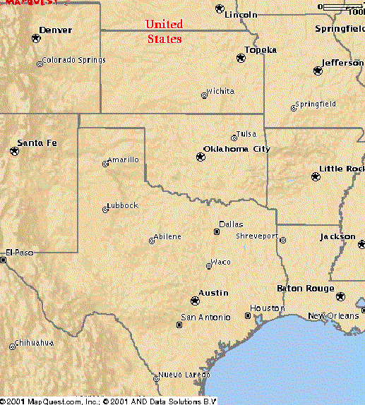
The Afghanistan map should be moving up and down over the US regional map. If it isn't, then my javascript didn't work on your browser -- sorry.
MapQuest - Afghanistan [source of Afghanistan map]
MapQuest - North Eastern US [source of US regional maps]
Where is China? It is down over there... [looking through the Earth....]
Thanks to MapQuest.com
Notes:
  There is a few percent error in scale among the maps.
  The original MapQuest US regional S and SE maps were scaled +8% to be of
    more similar scale to the others.
  In the early 90's, Xerox PARC's map server was a nice, flexible, desktop hack.
    It's now N years later, and "here in the future" ... I'm hand scaling map
    images, and trying not to care about projections.
    Surely we can do better than this...?

Doables:
  Switch to PNG/JPG for dialup folks.
  Little Afg beside full US map.  Drifting over.  With neighboring countries.
  Afg move/still.  Solid/trans click toggle.
  Dragable.  For city/terrain matching.
  Richer Afg map.  W reference overlay.
  Terrain crosssection.  Geology.:)
  Compare geographical critters - cities, roads, rivers, mountains, etc.
  Virtual tourist - mouseover pops up images.

History:
  2002-Apr-18  Javascript change - the "transparent" link was not working
               with some newer browsers.
  2001-Oct-18  Now works in IE.
               There were some unlogged experiments over the last few days.
  2001-Oct-05  Online.
  2001-Sep-25  Draft.